
Our Services
We offer a range of services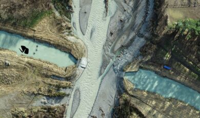
Fast, accurate aerial data capture using advanced UAV (drone) technology. Precision maps, models, and terrain insights—delivered efficiently for every project.
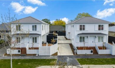
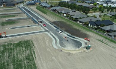
Graham Surveying’s bread and butter is the subdivision of land within urban environments to transform larger land parcels into thriving urban communities.
Expert rural subdivision solutions—navigating complex land, rules, and environments with confidence.

GSL’s high-precision 3D laser scanner captures detailed spatial data quickly, safely, and accurately.
GSL provides end-to-end resource planning services—guiding your project from concept to consent with clarity and confidence.
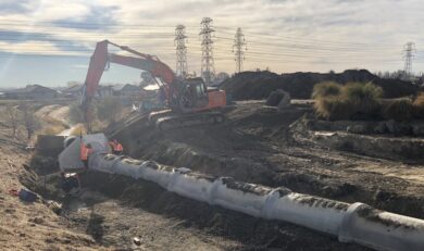
GSL provides end-to-end land development combining planning, engineering, and construction expertise to turn a concept into titles.
We provide detailed civil engineering design and contract administration for all types of development projects
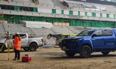
GSL has a dedicated Construction Survey team with significant experience across projects in New Zealand and Australia.