Construction Survey,Drone (UAV) Survey,Laser Scanning,Topographical Surveys
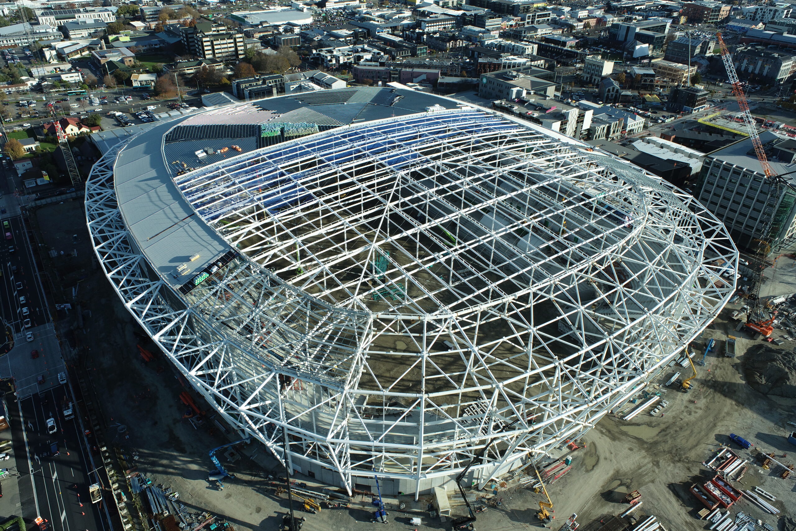
Christchurch's $683-million Te Kaha Stadium will seat 27,000 for sports and up to 37,000 for
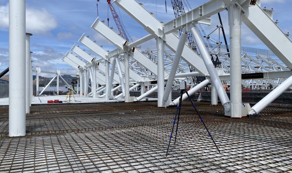
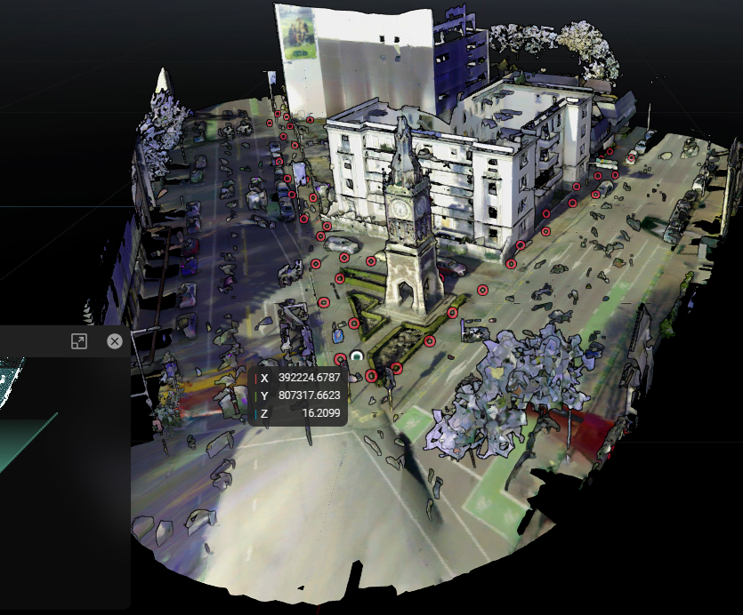
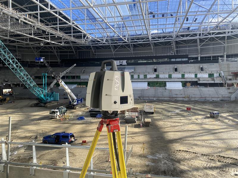
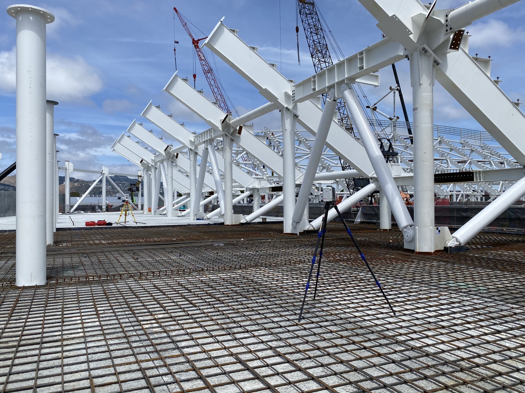
Graham Surveying’s laser scanning services harness the power of cutting-edge 3D scanning technology to deliver precise spatial data for projects of any scale. Using high-performance tripod-mounted scanners, we capture millions of data points in minutes—generating highly detailed, millimetre-accurate point clouds and 3D models without physical contact. This remote capture method ensures safety, speed, and exceptional detail, even in hazardous or hard-to-reach environments.
From complex infrastructure and industrial facilities to topographic surveys and building interiors, our team specialises in producing tailored outputs including point clouds, 3D plans, TruView visualisations, and fully integrated BIM deliverables. Whether you’re retrofitting existing assets or planning new construction, we deliver the as-built data and digital models you need to make informed, confident decisions.
Our in-house experts combine technical know-how with advanced software to customise data extraction workflows, supporting industries including construction, civil infrastructure, energy, transport, and more. We’re committed to driving innovation in the laser scanning space, helping clients reduce project costs, improve accuracy, and streamline workflows.
")
Key Benefits:
")