UAV
UAV
Fast, accurate aerial data capture using advanced UAV (drone) technology.Precision maps, models, and terrain insights—delivered efficiently for every project.
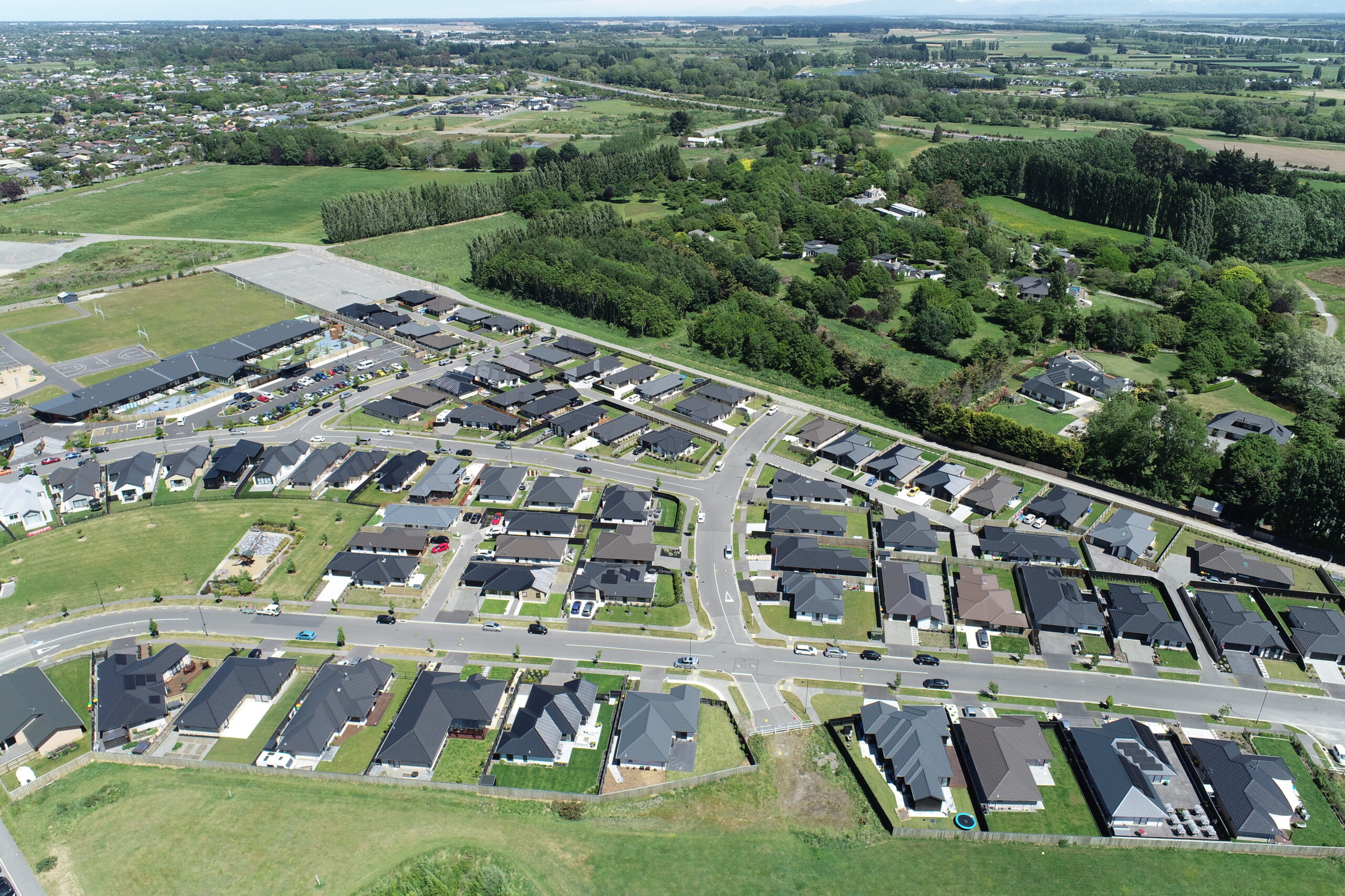
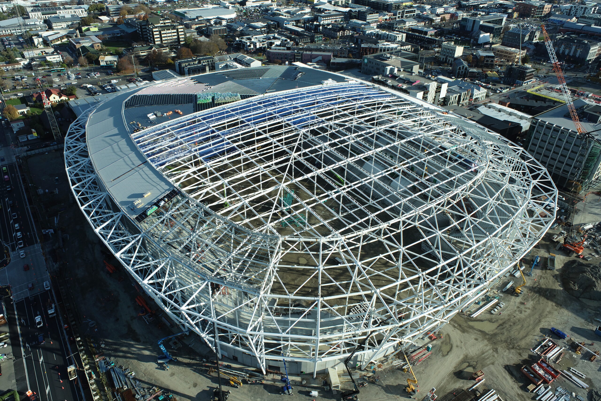
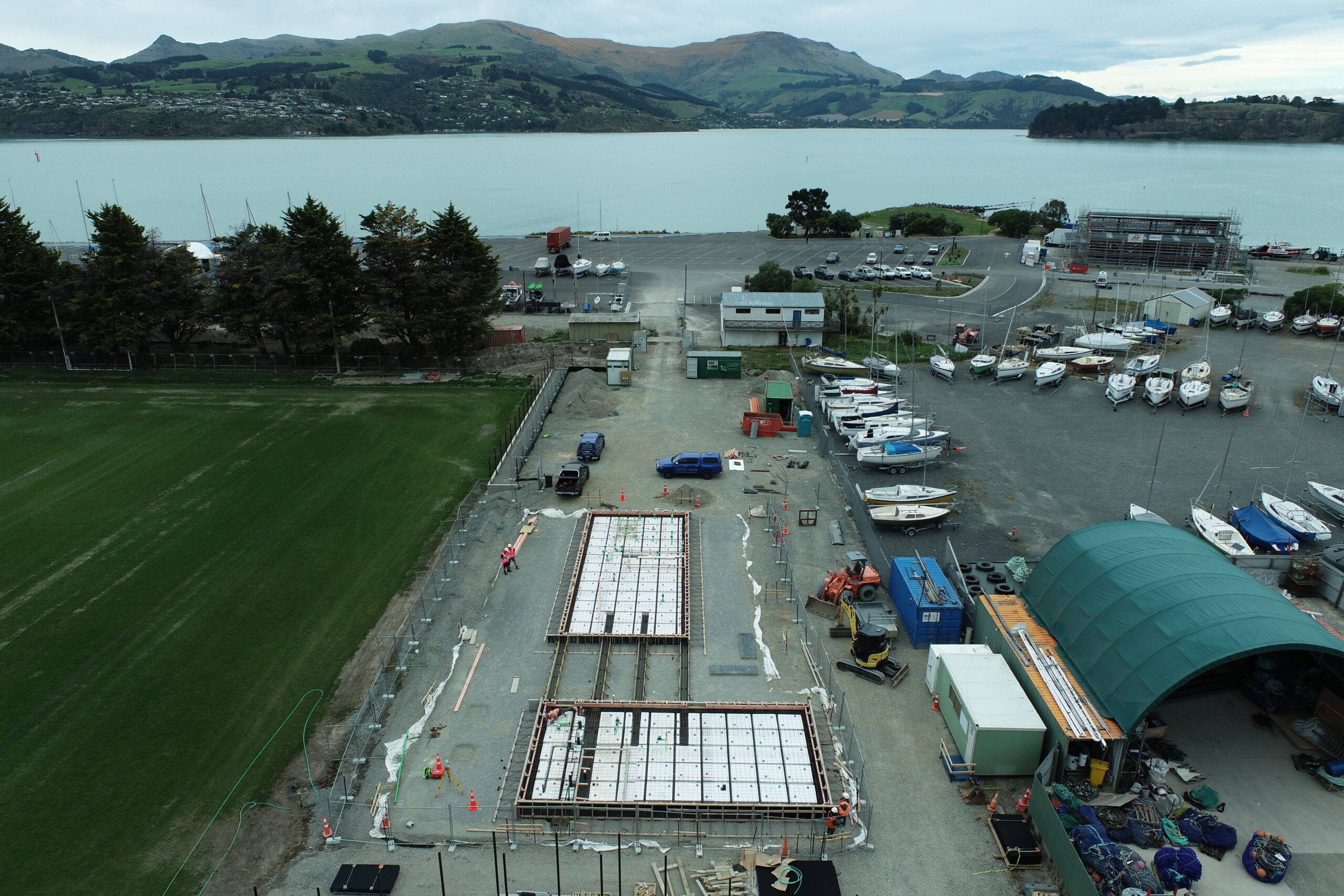
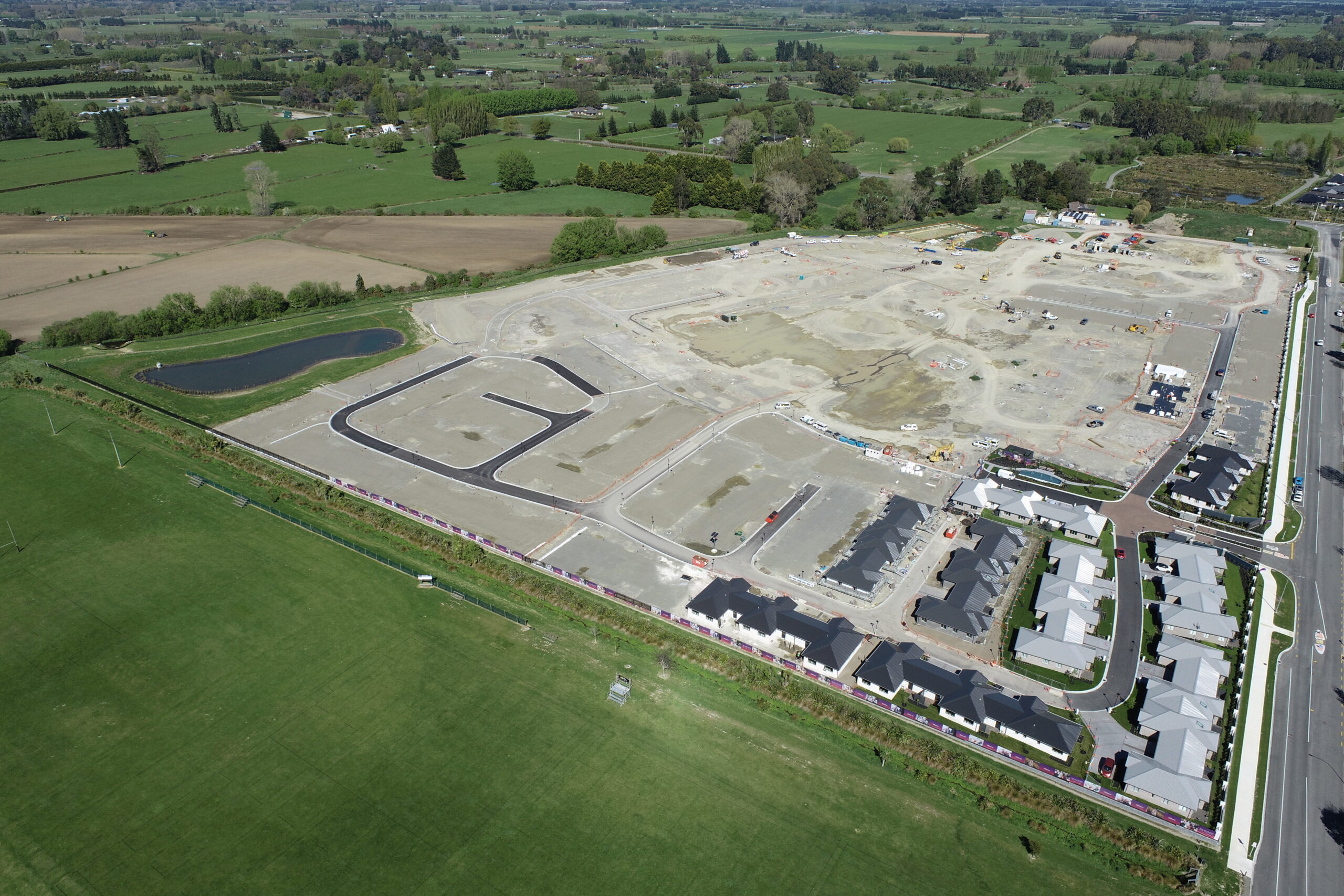
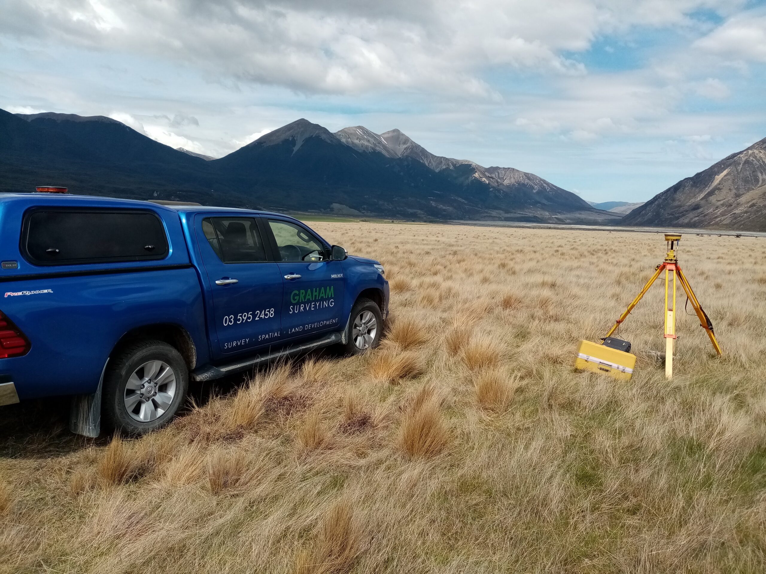
Graham Surveying utilises Unmanned Aerial Vehicles (UAVs)—commonly referred to as drones—to rapidly and safely collect large volumes of high-resolution spatial data. Compared to traditional survey methods, UAV technology offers faster on-site turnaround times, increased data collection and reduced site disruption, providing exceptional value across a wide range of projects.
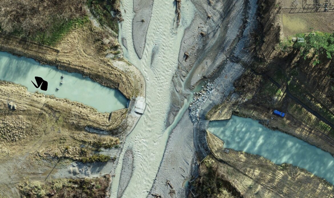
Our UAV can capture everything from high-definition video to fully georeferenced aerial imagery. We use advanced photogrammetry and processing software to convert this data into precise point clouds, orthomosaic images, digital terrain models (DTMs), contour maps, and 3D surface models.
Health, Safety & Risk Minimisation
Health and safety is at the core of our UAV operations. One of the key advantages of drone surveying is the ability to collect critical data in hard-to-access or potentially hazardous environments without putting personnel at risk. UAVs are an ideal solution for surveying in steep or unstable terrain, construction zones, restricted sites, or over live infrastructure such as roads, rail, or other utilities.
By operating remotely, we can safely capture data without entering exclusion zones or physically accessing dangerous locations, significantly reducing risk to both our staff and yours. Our flight operations always include a comprehensive risk assessment and site safety plan, ensuring compliance with all health and safety regulations.
Certified and Compliant Operations
Graham Surveying Ltd is a certified Part 102 UAV operator, approved by the Civil Aviation Authority (CAA). This certification allows us to conduct complex UAV operations under strict regulatory oversight, including flights in controlled airspace or near sensitive areas.
All UAV flights are carried out by a fully qualified and experienced UAV pilot, adhering to rigorous safety protocols and operational procedures. We prioritise regulatory compliance, public safety, and responsible UAV use on every project.
Whether your project requires detailed aerial mapping, inspection of inaccessible structures, or accurate 3D modelling, our UAV surveying services offer a fast, safe, and cost-effective solution tailored to your specific needs.
")
Our UAV Surveying Services Include:
-
- Topographic and Boundary Surveys
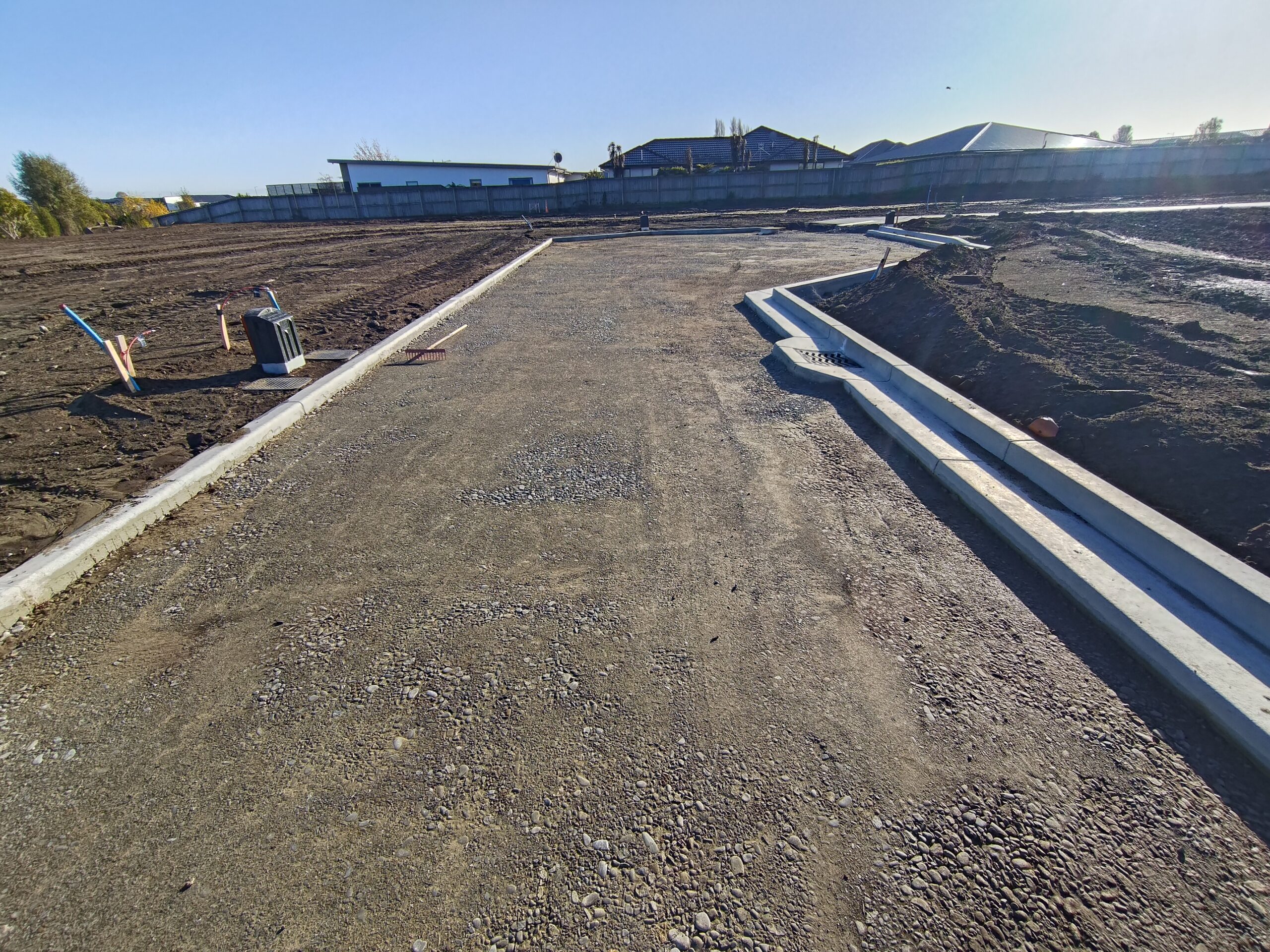
- Construction site monitoring and as-built documentation
- Earthworks and volumetric calculations
- Infrastructure and asset inspections
- Environmental impact assessments and land-use planning