Rural Survey
Rural Survey
Expert rural subdivision solutions—navigating complex land, rules, and environments with confidence.
Rural subdivisions present unique opportunities and unique challenges as they are often undertaken for very different reasons and in very different environments. The subdivision of rural land may be undertaken to:
- Improve the efficient use of land through the creation of smaller land parcels.
- Enable the separation of personal and business assets such as creating a smaller lot around the family house and retaining the farm operation on a larger parcel.
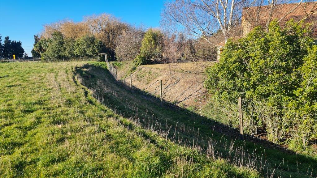
- Boundary adjustments to better align legal boundaries with fences or natural features.
- Creation of reserve or covenant areas to protect sensitive land or vegetation areas.
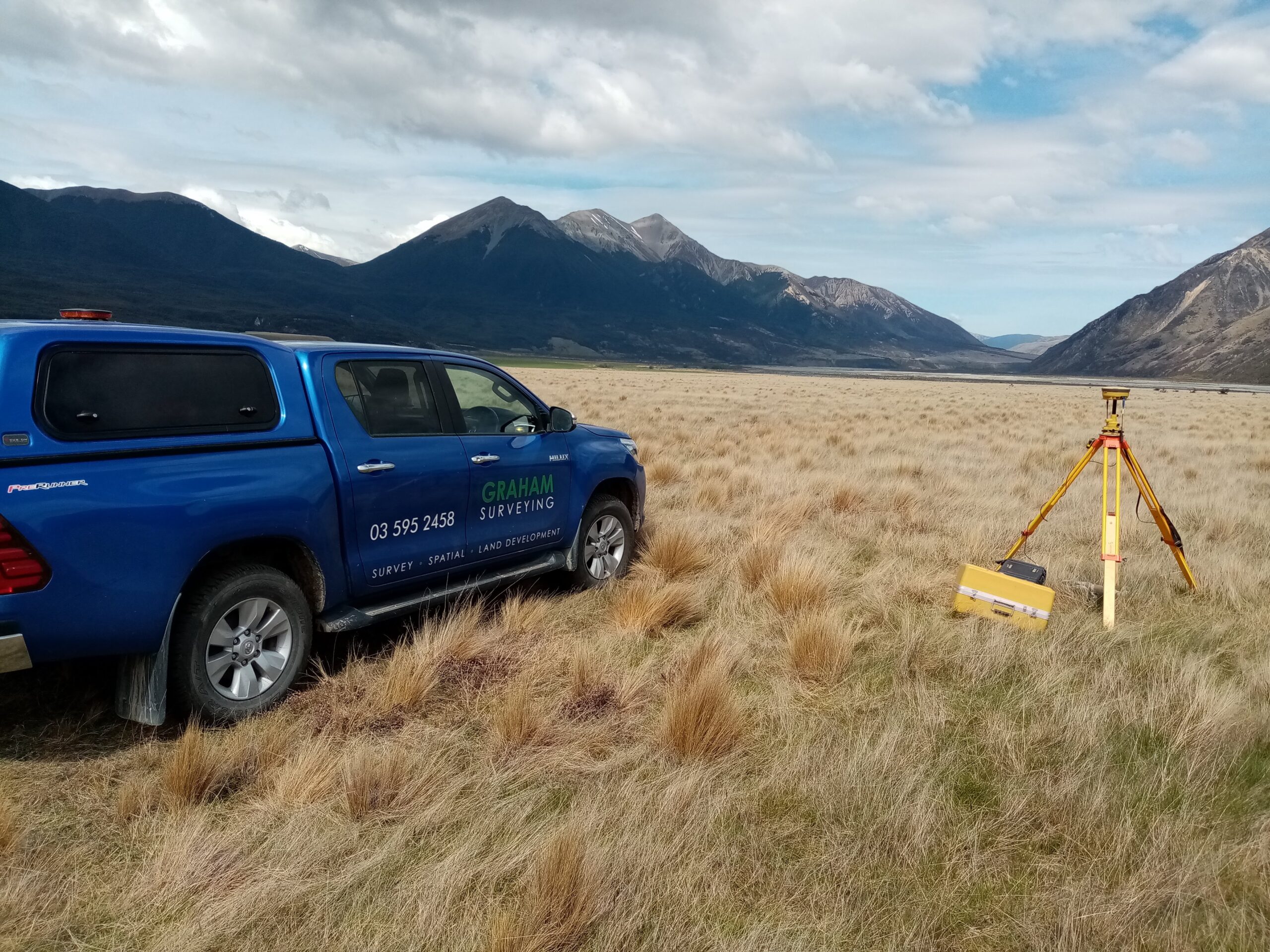
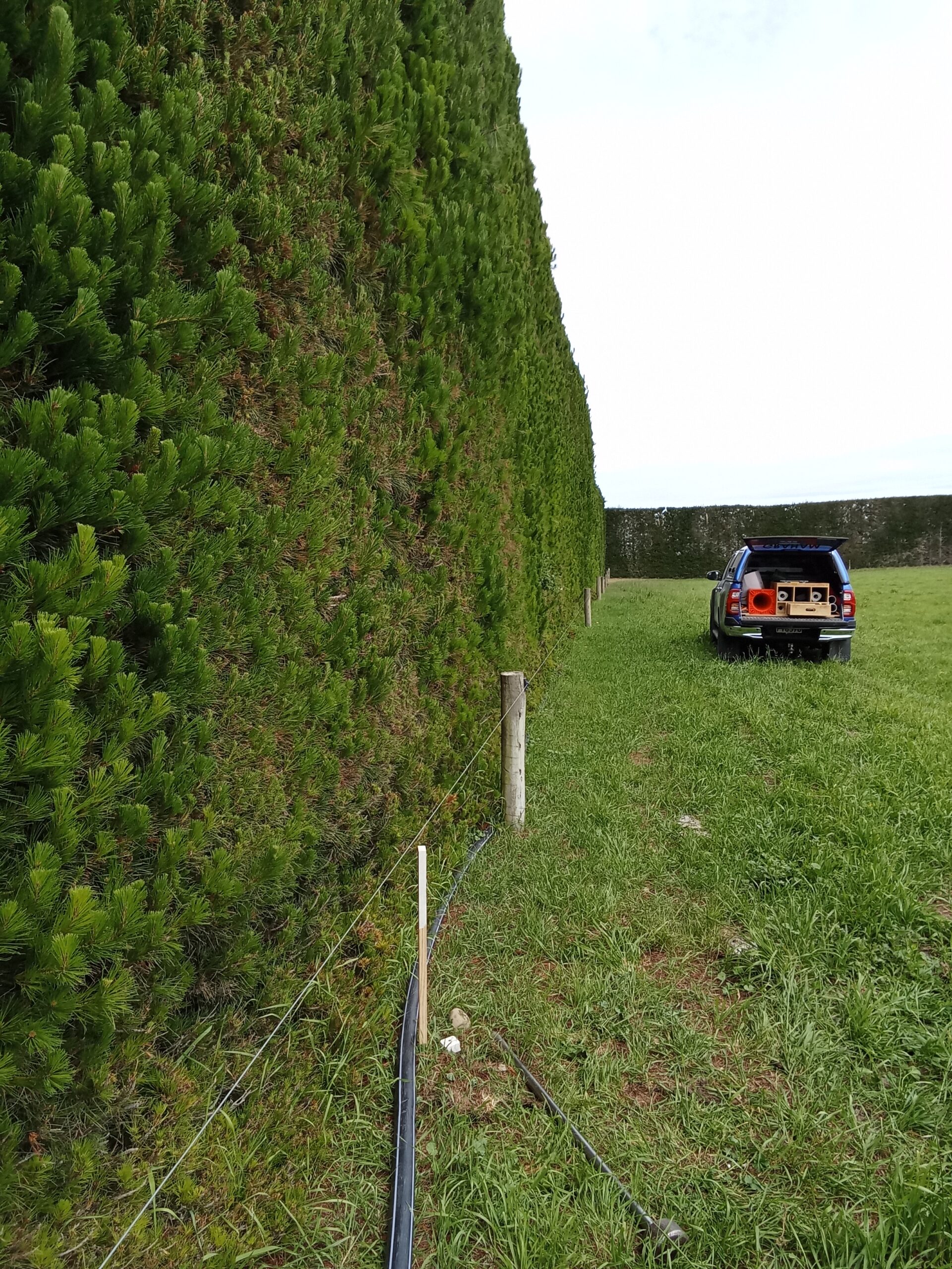
Graham Surveying’s resource management and survey teams have significant understanding of the complexity of rural subdivision including negotiating District and Regional Council Planning rules around retention of rural character and reverse sensitivity effects, the provision of suitable infrastructure and services and the completion of larger scale land transfer surveys often within areas with very old underlying survey data, rugged terrain and changeable weather conditions.

Our Rural Surveying
Services Include:
- Project and Development Management
- Feasibility and Development Assessments
- Topographical Surveys
- Scheme Plans and Concept Designs
- Subdivision Consent Applications (including coordination of specialist sub-consultants)
- Regional Council Consent Applications for Discharge and Land Use Activities
- Land Transfer Surveys
- Removal of Limitation Surveys
- Legalisation Surveys
- Easement Surveys
- Boundary Marking