
Mt White Station, Arthur’s Pass
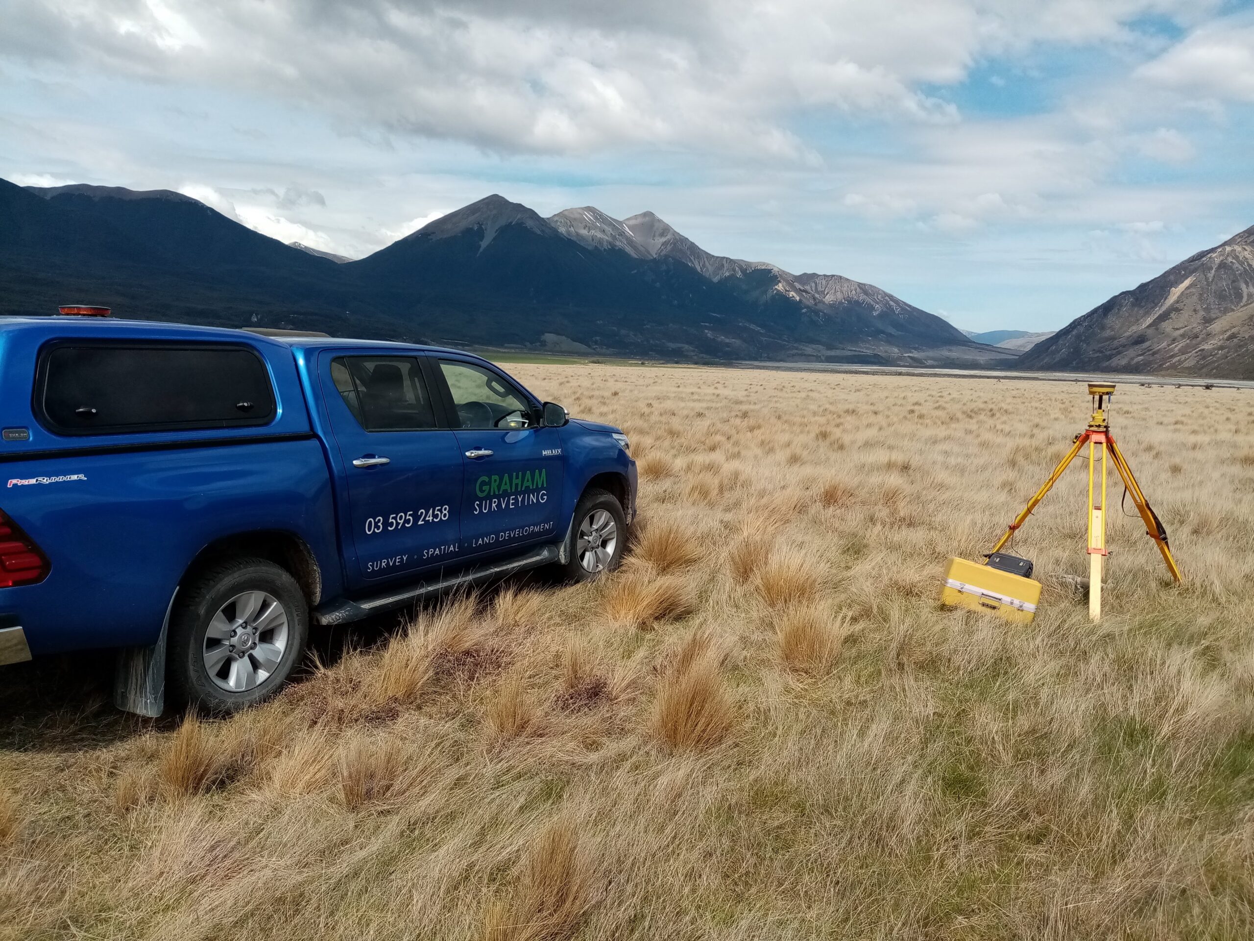
Graham Surveying conducted an unmanned aerial vehicle (UAV) survey for Mt White Station Limited to provide the base topographical date for the design of a new farm track.
The use of a UAV to capture detailed ground level data enabled us to complete the field survey of over 100 hectares of primarily inaccessible terrain within a day.
The raw data and imagery captured during the flight was then processed to generate a refined point cloud and an aerial photograph of the site from which a 3D model was created and provided to the civil engineers for the project to design the new farm track from.