
Yaldhurst Park, Christchurch
Graham Surveying was the lead land development consultant for the development of 26ha of land within the Yaldhurst Residential New Neighbourhood zone providing the following key services:
Land Planning
We have delivered comprehensive, end-to-end planning expertise to successfully obtain subdivision and land use (earthwork) consents from Christchurch City Council for the development of 230 residential lots and a local commercial area across seven construction stages.
The project also included obtaining regional consents from Environment Canterbury for the realignment and enhancement of an existing waterbody that now forms part of the recreation reserves within the development.
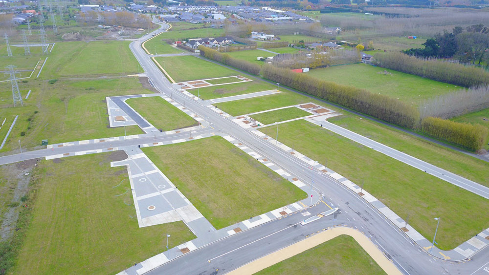
Civil Design
Our civil designers were responsible for the 3D design of the earthworks, roading, stormwater network and treatment and detention basins, wastewater and water supply services as well as coordinating the landscape, electrical and fibre connections with specialist sub-consultants and the obtaining of Engineer Approval from CCC Subdivision Engineers.
We also completed the civil design for a new traffic light controlled intersection on State Highway 73 based on the traffic engineers concept plans and obtained Engineering Approvals from NZTA and Council.
Civil Works Supervision and Contract Management
Our civil team coordinated a competitive tender process for the completion of the first stage of works with subsequent stages of work negotiated directly with the same civil contractor following the successful completion of each stage.
We provided civil supervision and contract management services during the construction of the six residential stages, commercial stage and the State Highway intersection. Our work involved regular site inspections with the contractor and Council Engineer and processing of monthly claims and preparation of progress reports for the Project QS to support funding drawdowns.
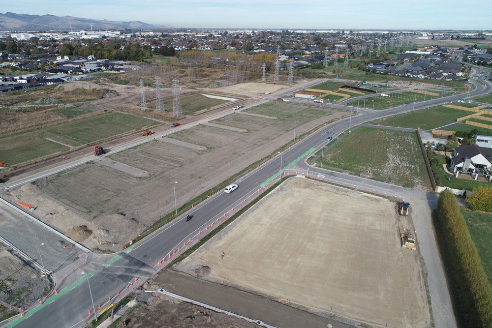
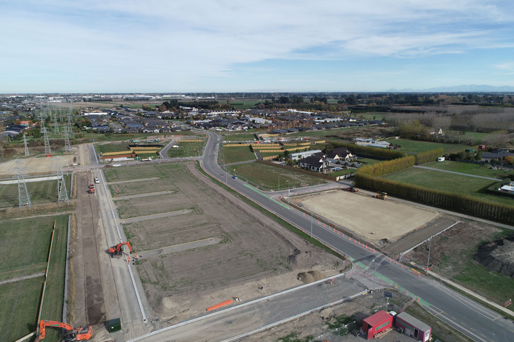
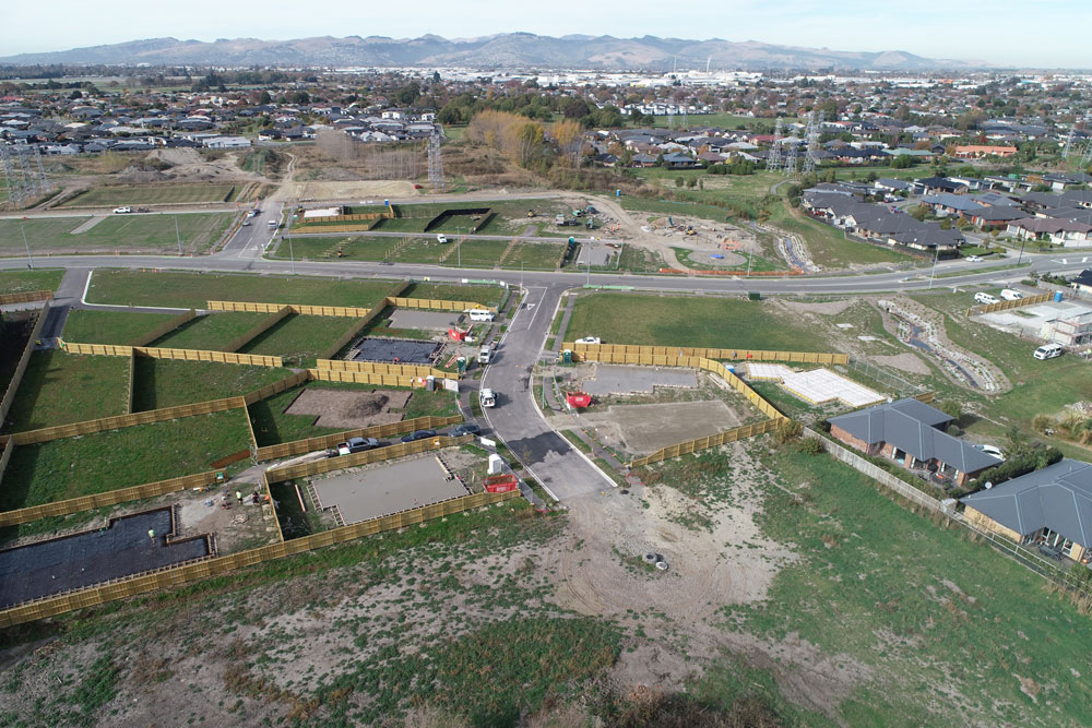
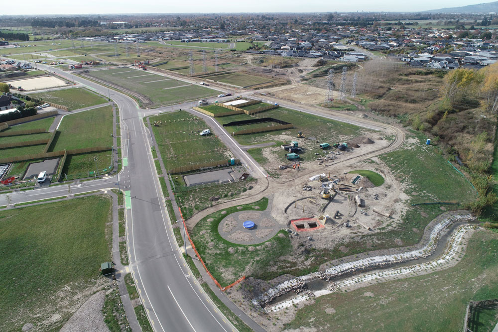
Land Surveying
Our survey team has been heavily involved in the design and construction phases of the development including the completion of:
- Topographical surveys and delivery of 3D surface for civil design.
- Monthly UAV survey and processing of point cloud to assist with earthwork volumes.
- Provision of monthly UAV aerial and oblique photo updates to project team.
- Completion of land transfer surveys and coordination with solicitor on LINZ documentation.
- Preparation of s224(c) application and management of certification process with Council.